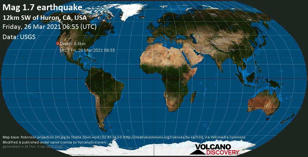
Minor magnitude 1.6 earthquake at 11 km depth
26 Mar 06:58 UTC: First to report: USGS after 2 minutes.
I felt this quake
I didn’t feel it
Date & time: 26 Mar 2021 06:55:39 UTC –
Local time at epicenter: Thursday, 25 Mar 2021 11:55 pm (GMT -7)
Magnitude: 1.6
Depth: 10.9 km
Epicenter latitude / longitude: 36.1375°N / 120.1875°W ![]() (California, United States)
(California, United States)
Nearest volcano: Golden Trout Creek (169 km / 105 mi)
Nearby towns and cities:
11 km (7 mi) SW of Huron (Fresno County) (pop: 6,840) –> See nearby quakes!
16 km (10 mi) E of Coalinga (Fresno County) (pop: 16,600) –> See nearby quakes!
16 km (10 mi) NNW of Avenal (Kings County) (pop: 13,300) –> See nearby quakes!
41 km (25 mi) WSW of Lemoore (Kings County) (pop: 25,600) –> See nearby quakes!
53 km (33 mi) WSW of Hanford (pop: 55,700) –> See nearby quakes!
76 km (47 mi) W of Tulare (pop: 62,300) –> See nearby quakes!
77 km (48 mi) SSW of Fresno (pop: 520,100) –> See nearby quakes!
83 km (52 mi) WSW of Visalia (pop: 130,100) –> See nearby quakes!
88 km (55 mi) SSW of Clovis (pop: 104,200) –> See nearby quakes!
135 km (84 mi) NW of Bakersfield (pop: 373,600) –> See nearby quakes!
Clear Sky
 9.6°C (49 F), humidity: 66%, wind: 3 m/s (6 kts) from W
Primary data source: USGS (United States Geological Survey)
Estimated released energy: 1.6 x 10⁷ joules (4.4 kilowatt hours) More info
[show map]
[smaller] [bigger]


