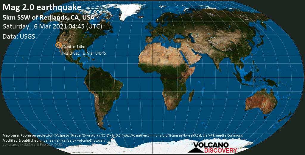
Minor magnitude 2.0 earthquake at 14 km depth
6 Mar 04:47 UTC: First to report: USGS after 2 minutes.
6 Mar 04:49: Hypocenter depth recalculated from 14.3 to 14.0 km (from 8.9 to 8.7 mi).
I felt this quake
I didn’t feel it
Date & time: 6 Mar 2021 04:45:00 UTC –
Local time at epicenter: Friday, 5 Mar 2021 8:45 pm (GMT -8)
Magnitude: 2
Depth: 14.0 km
Epicenter latitude / longitude: 34.01133°N / 117.20583°W ![]() (California, United States)
(California, United States)
Nearest volcano: Lavic Lake (98 km / 61 mi)
Nearby towns and cities:
5 km (3 mi) SSW of Redlands (pop: 71,000) –> See nearby quakes!
7 km (4 mi) SE of Loma Linda (pop: 24,000) –> See nearby quakes!
9 km (5 mi) NNE of Moreno Valley (pop: 204,200) –> See nearby quakes!
12 km (8 mi) SE of Colton (pop: 54,600) –> See nearby quakes!
13 km (8 mi) S of Highland (pop: 54,900) –> See nearby quakes!
13 km (8 mi) SE of San Bernardino (pop: 216,100) –> See nearby quakes!
18 km (11 mi) SE of Rialto (pop: 103,100) –> See nearby quakes!
19 km (12 mi) ENE of Riverside (pop: 322,400) –> See nearby quakes!
68 km (42 mi) ENE of Santa Ana (pop: 335,400) –> See nearby quakes!
68 km (42 mi) ENE of Anaheim (pop: 350,700) –> See nearby quakes!
Clear Sky
 14.1°C (57 F), humidity: 58%, wind: 3 m/s (5 kts) from NNW
Primary data source: USGS (United States Geological Survey)
Estimated released energy: 6.3 x 10⁷ joules (17.5 kilowatt hours) More info
[show map]
[smaller] [bigger]


